

Old Stone Fort - Alternate Trails
Date Hiked: 04SEP11
Park: Old Stone Fort State Park
Address: 732 Stone Fort Drive, Manchester, TN 37355
Latitude: 35.48619, Longitude: -86.10209
Trail Ratings: Yellow (Forks) and Green (Moat) Trails - easy, Red (Backbone Ridge) Trail - Moderate, Garrison Road Loop Trail - Easy
Round-Trip Mileage: Wall Trail and Yellow Trail - 1.80 miles, Wall Trail and Yellow + Green Trails - 2.25 miles, Wall Trail and Yellow + Green + Red Trails - 3.35 miles Garrison Road Loop Trail - .80 miles
For Map, Trail Mileage, GPS, and Trail Notes go to Page 2
Pre-Hike Comments
See comments from Old Stone Fort - Wall Trail
The Hike
Directions: See Old Stone Fort - Wall Trail
The alternate trail junction is .80 miles from the trailhead on the Wall Trail.
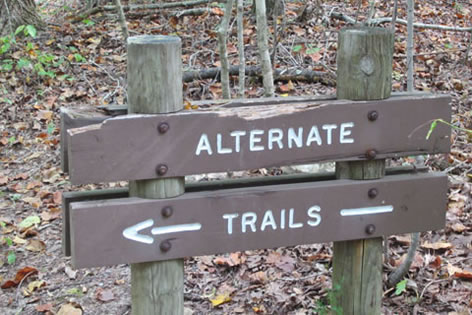
From the junction turn left and head downhill on an old road cut.
At .15 miles a junction (Forks Junction) is reached. To walk the alternate trails with the least overlapping, turn left at the fork and follow the green blazes to the Moat Trail.
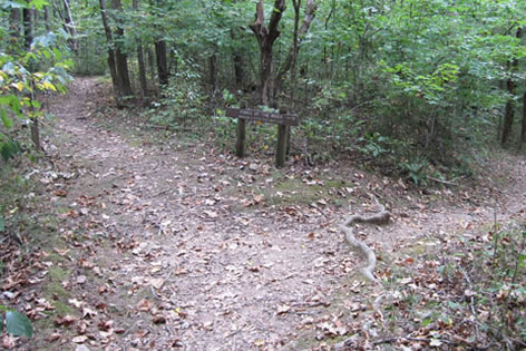
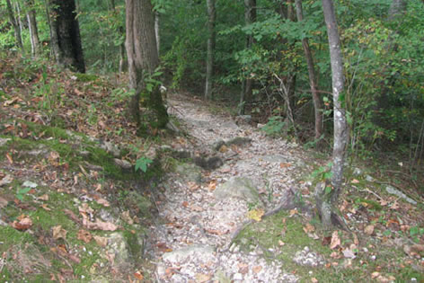
The Moat Trail (or Old River Channel) is an easy graded trail that follows between the Wall and the Backbone on a pleasant almost level path. From the (Forks) junction it is .05 miles to the next junction (Moat Junction) - Yellow and Red Trails go right, stay straight for the Moat Trail. The junction is well signed.
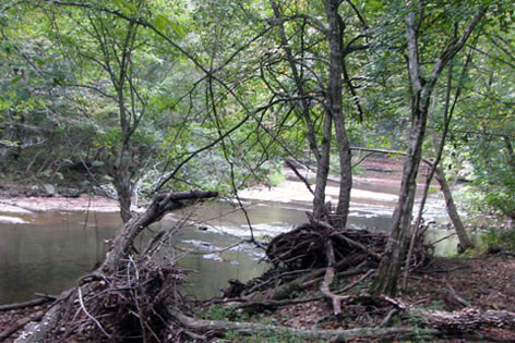
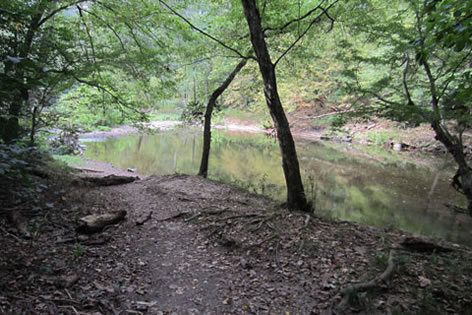
From the Moat Junction it is .20 miles to the Little Duck River. It is a nice location, worth the walk. The trail is an out and back, return on the same trail to the junction - another .20 miles.
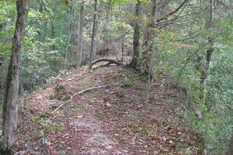
Back at the Moat Junction go left (following red and yellow blazes). In a short distance the Red Trail branches off to the left (Backbone Junction) and the yellow trail goes straight. Go left. This is the beginning of the Backbone Trail. The Backbone is a section of the Little River Loop Trail. It is rated as moderate.
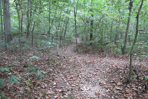
After a brief introduction the trail climbs steeply to the top of the ridge. In .10 miles the trail levels out.
Follow the ridge line with surprisingly steep drop off on either side. After .40 miles from the Backbone Junction, the trail begins to descend to the Little Duck River. There are several farm roads that crisscross the trail in the bottom land.

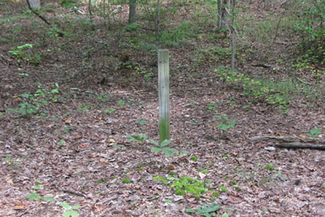
Look sharply for the directional posts.
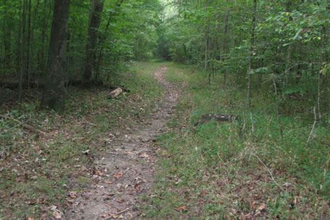
The trail makes it's way downstream following the Little Duck. The trail is off set by a hundred feet or so from the river.
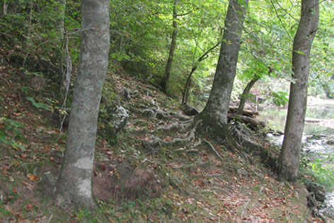
After 1.10 miles from Backbone Junction, the trail finally drops next to the river bank. A poor trail traverses the section and then backs away from the water's edge. The junction (Little Duck River Loop Junction) with the Yellow Trail is .10 miles away. Go left on the Yellow Trail.
Meanwhile, the Red Trail may be avoided by following the Yellow blazes at the Backbone Junction. It is only .05 miles to the Little Duck River Loop Junction. Stay straight.
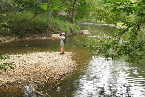
From the Little River Loop Junction, the Forks of the River is a short distance away.
The Forks of the River is where the Little Duck and Duck rivers converge.
The trail follows along the bank for a short distance before it begins a well graded climb for a little more than a tenth of a mile to return to the Forks Junction.
From Forks Junction, go left and uphill on the access trail for .15 miles to return to the Wall Trail (Little Stone Fort Trail).
From the Alternate Trail Junction it is .45 miles to return to the trailhead.
Garrison Road Loop
The Park also has a short, loop trail starting behind the Camper Check-In Station.
From the Park Entrance turn right at the first junction and follow signs to the campground. Cross the one lane bridge over the Duck River and continue uphill. the Camper Check-In Building is on the right.
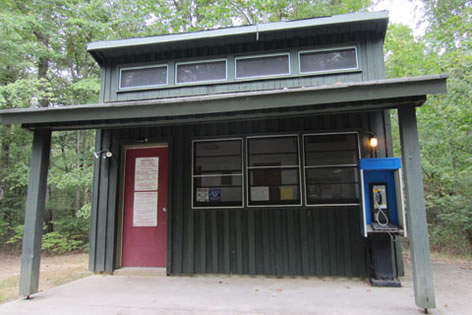
From the Camper Check-In, go behind the building through the fence and to start of the Loop.
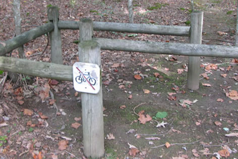
At the Garrison Road Loop sign, go right.
Follow the many wooden directional posts.
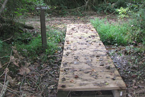
The trail goes east to near the Duck River then continues to a small wooden bridge and a left turn (.25 miles from the trailhead.)
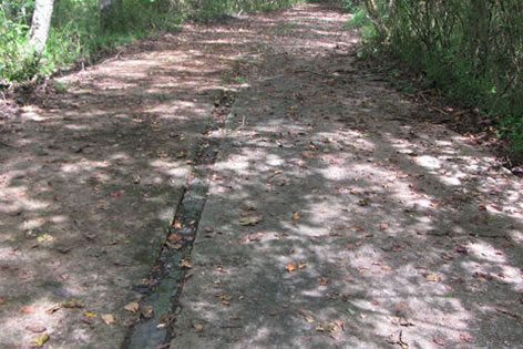
The trail climbs an easy grade on an old concrete roadbed. The road noise from Hwy 41 is loud at times.
Leaving the old road, the trail climbs a short but steep grade to the top a knoll.
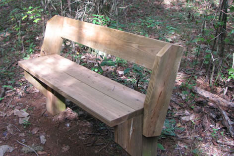
A bench is located along the trail at .45 mile.
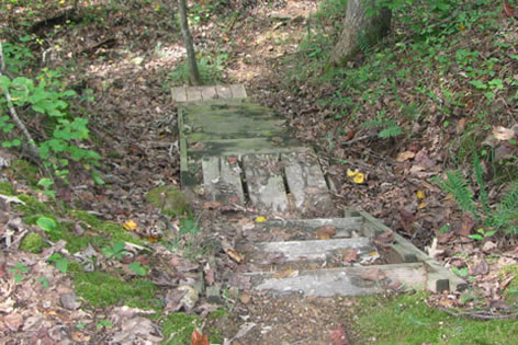
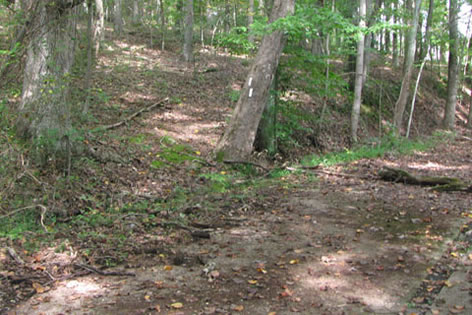
The trail stays atop the knoll for a short distance and then descends by a series of wooden steps into a ravine. The trail goes right at the bottom of the steps and climbs gently for a short distance before leaving the gully.
Staying to the right of a drainage the trail continues easily to near the Campground Road. The trail then curves back and ends the loop behind the Camper Check-In.
The Garrison Road Loop was signed as .6 miles long. The GPS showed the trail to be .8 miles long.