

Estes Cone - Rocky Mountain National Park
The Adventure Guide to Estes Cone includes a trail description, photographs of the trails, comments from our hikes, mileage data, custom Twin Sister and Estes Cone topo map, and route GPS tracklogs. The guide will familiarize you with the area and help you on your hike.
Date Climbed: JUL10, JUL11, JUN12, JUN13
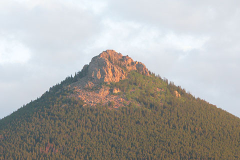
Elevation: 11,006 feet
Range: Rocky Mountain National Park - Front Range
Latitude: 40.30664, Longitude: -105.53739 (at Lily Lake Trailhead, 8,939 feet)
Route: Storm Pass Trail to Estes Cone Trail
One-Way Mileage: 3.75 miles
For Map, Trail Mileage, GPS, and Trail Notes go to Page 2
Pre-Climb Comments
This is a familiar peak. I first climbed it many years ago but from the Longs Peak Trailhead. Often times it is difficult to park at Longs Peak, making the Lily Lake Trailhead more accessible. Also of note, the Eugenia Mine Trail to Storm Pass is steep and, at the time of my last hike, was in poor condition. The Storm Pass Trail from Lily Lake is highly recommended.
The Estes Cone Trail from Storm Pass to the summit is steep and rugged. It is a good climb for those who are acclimated and fit. Estes Cone is rated harder than its neighbor (across the highway), Twin Sisters.
During the summer, thunderstorms happen almost every afternoon. Leave early and be prepared.
The Climb
Directions: Estes Cone is on the eastern edge of Rocky Mountain National Park (CO), just south of Estes Park on Highway 7. From the junction with Hwy 36, Highway 7 leads south as it climbs for 6.5 miles to Lily Lake (on the shoulder of Lily Mtn). As soon as the road levels out, the Lake is to the right and a parking area and unused Visitor's Center is on the left. Park in either area. This is a congested area.
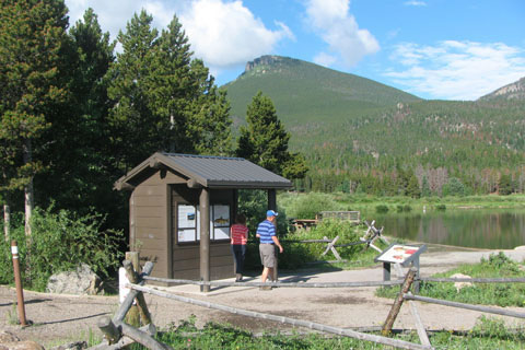
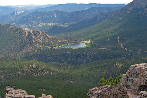
Lily Lake Trailhead - Estes Cone is in the Background
Restrooms are available at Lily Lake.
There is no drinking water available.
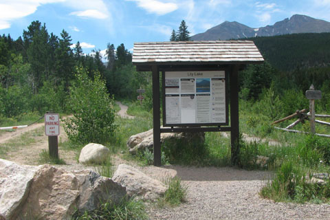
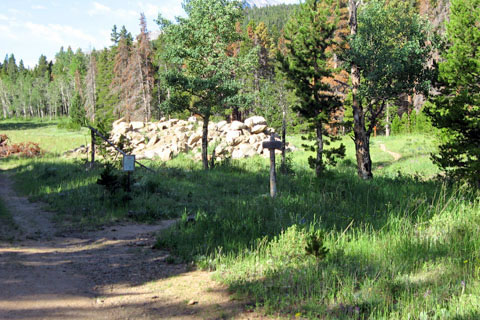
Storm Pass Trailhead, Privies are to the Left
There are two trail kiosks at Lily Lake. The Lily Lake Trailhead is, obviously, located near the Lake. The Storm Pass Trailhead is at the south end of the parking area near the privies.
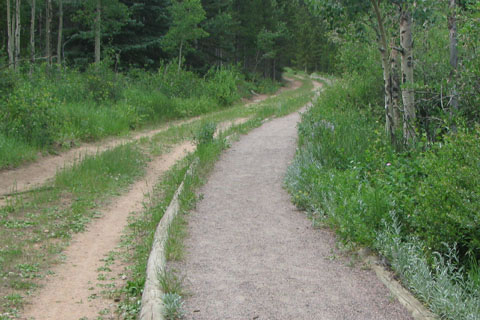
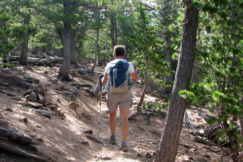
From the Storm Pass Trailhead, follow the old road and hard compacted gravel trail as they leave the parking area and head south.
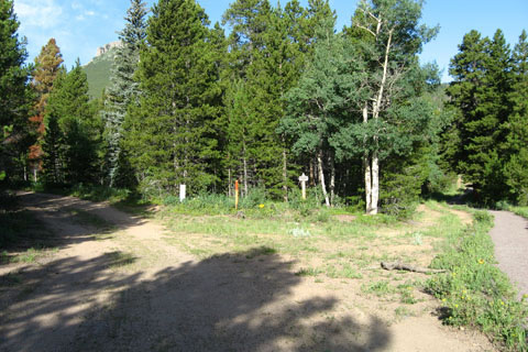
After .15 miles a trail intersects the road from the right. The trail goes to a few picnic areas before intersecting with the Lily Lake Trail. Stay to the left where you will see a sign that directs hikers toward Storm Pass.
At the next junction (.10 miles) the trail to Storm Pass branches off of the road and begins the climb to Storm Pass and Estes Cone. (note: Some guides start the trail mileage at this point.)
At .45 miles from the trailhead, the trail makes a sharp left turn at a small rock outcropping.
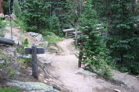
The trail then contours into the Aspen Brook drainage. A horse trail is crossed just before the bridge (bridge is at .65 miles.)
After the bridge, the trail traverses a long slope with good views of Lily Mountain and the valley from the rock outcrops.
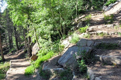
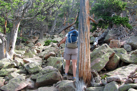
At 1.20 miles from the trailhead, the trail makes a switchback and begins a long climb around Estes Cone to Storm Pass.
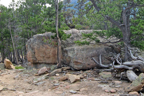
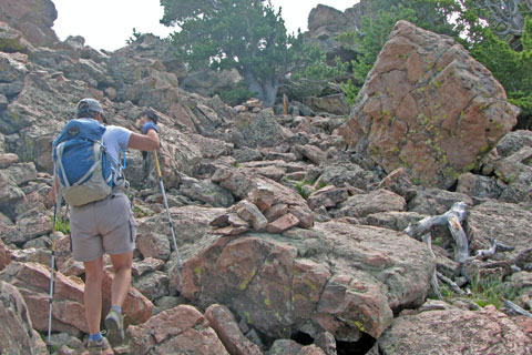
A boulder stands alone in a more open area - 1.05 miles from the switchback, 2.25 miles from the trailhead.
The trail continues to climb steadily to reach the pass in .80 miles, 3.05 miles from the trailhead.
The Storm Pass Trail continues past Storm Pass and on to Bear Lake Road in 4.5 miles.
The Eugenia Mine Trail goes left at the pass as it heads south to Moore Park, Eugenia Mine (1.4 miles), Longs Peak Trail (2.1 miles), and Longs Peak Trailhead (2.6 miles).
From Storm Pass take the Estes Cone Trail to finish the climb. A couple of switchbacks begin the trail (second switchback in at .20 miles from the pass).
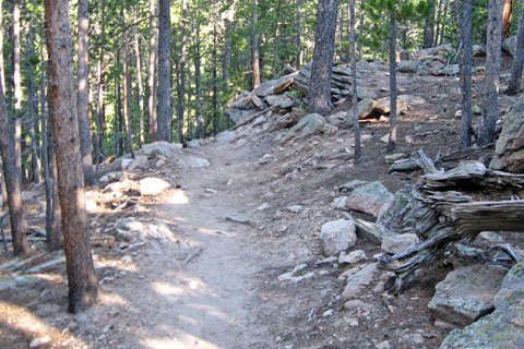
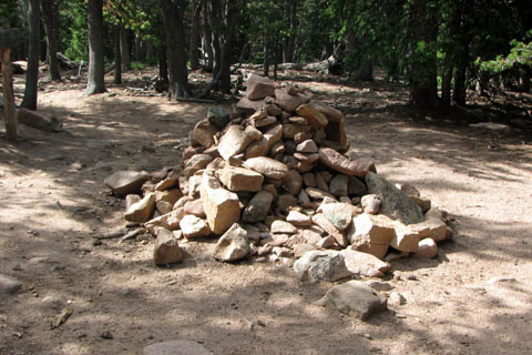
As the climb continues, it grows more rocky and steeper. Follow the cairns and look for boot prints as the climb enters the upper slope at .45 miles from the pass.
Please, try to follow the path of others to minimize impact to the area.
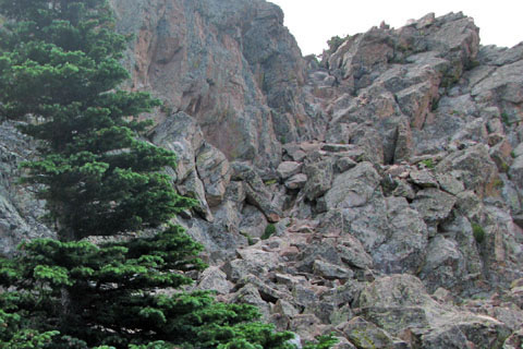
At .60 miles from the pass, the climb reaches the ridge.
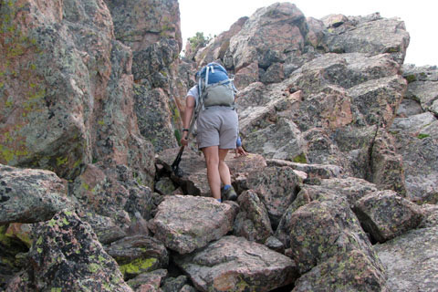
Continue on the south side of the ridge until reaching a rocky gully. climb the gully (class 2; but still steep) to the top of the ridge.
Alternative - the ridge itself can be climbed. With a bit of route finding, the route might be easier than the standard climb but it is more exposed. On either route use care and test all holds.
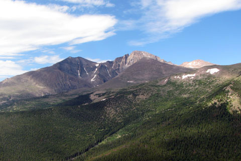
From the top the views are excellent of Lily Lake, Lily Mountain, Twin Sisters, Mount Meeker, and Longs Peak.
Look for the highest point - .70 miles from the pass, 3.75 miles from Lily Lake Trailhead.