

Deer Mountain Trail - Rocky Mountain National Park
The Adventure Guide to Deer Mountain Trail includes a trail description, photographs of the trails, comments from our hikes, mileage data for the Deer Mountain Trail, the Deer Mountain Trail topo map, and Deer Mountain Trail GPS tracklogs. The guide will familiarize you with the mountain and help you on your climb.
Photos from: July 2010, June 2012
Elevation: 10,013'
Range: Rocky Mountain National Park
Deer Ridge Trailhead - Latitude: 40.38700,
Longitude: -105.60930
Route: Deer Mountain Trail
One-Way Mileage: 3.0, from trailhead to the summit
For Map, Trail Mileage, GPS, and Trail Notes go to Page 2
Comments
We have climbed Deer Mountain several times. It has been a favorite acclimating hike for years. The peak also has good views of the surrounding mountains and of Estes Park.
The Climb
Directions: The Deer Ridge Trailhead is located on the east side of the Park. From the Beaver Meadows entrance, follow Trail Ridge Road (Hwy 36) for about 3.2 miles to the trailhead near Deer Ridge Junction.
From the Fall River Entrance, follow Fall River Road (Hwy 34) for about 4 miles to Deer Ridge Junction. Turn left and park.
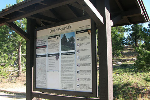
The trail begins near the trailhead kiosk at 8930 feet elevation. The kiosk has current trail information.
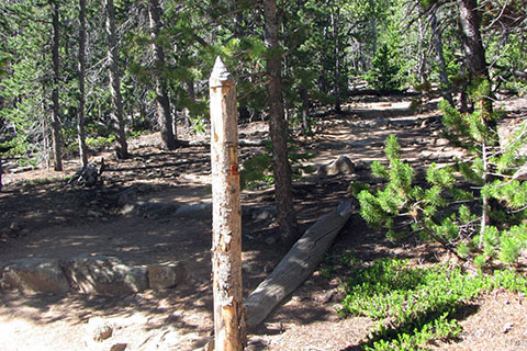
After a short climb the trail reaches a trail junction with the North Mountain Trail in 0.10 mile.
Stay straight as the trail climbs a bit to a good viewpoint to the right of the trail. The short hike to this point is rewarded by a great view.
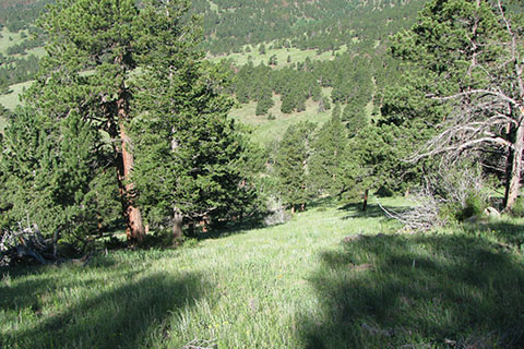
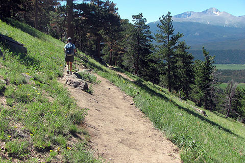
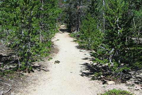
Return to the main trail and leave the trees as the trail contours into a meadow. The first switch back is 0.80 mile from the trailhead.
Note: The Deer Mountain Trail uses switchbacks to ease the climb of the steep slope. Please practice minimum impact usage and stay on the trail. Do not shortcut the switchbacks. The shortcuts cause damaging erosion.
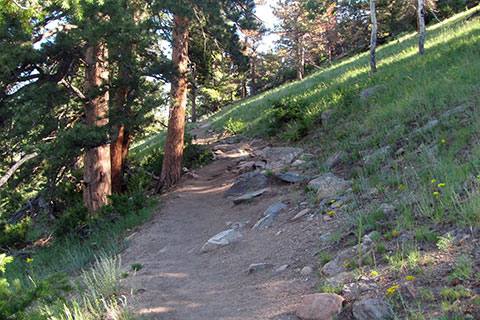
After changing directions at the switchback the trail crosses the slope heading north.
Seven more switchbacks lead to the North Switchback. The turn is located near 9600' and is 0.75 mile from the first switchback and 1.55 miles from the trailhead - about halfway. There are good views to the north of Mount Ypsilon (photo on page 2) from near this point.
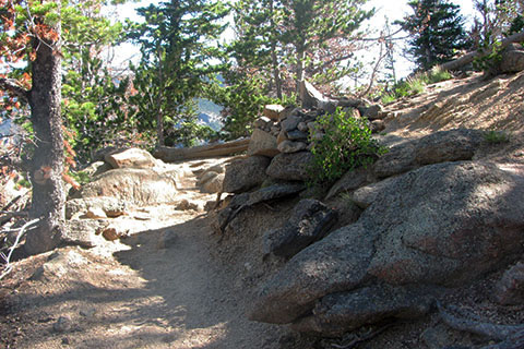
Five more switchbacks position the trail near the plateau and on the south side of the mountain. The Upper Switchback is 0.40 mile from the North Switchback and 1.95 miles from the trailhead. The point is near 9800'. Note: the third switchback has a good view of Longs Peak.
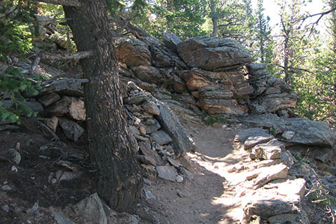
From the Upper Switchback the trail continues to climb a bit and reaches 9900' before it stops climbing. The trail then descends as it crosses a high plateau on the top of the mountain from the west end of the mountain to the east and the summit.
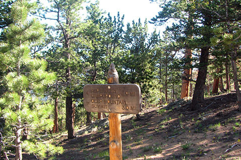
After 0.85 mile from the Upper Switchback, the trail reaches a junction. The Summit Trail turns right. Ahead the Deer Mountain Trail descends, but not to Deer Ridge Trailhead. The trail continues to the outskirts of Estes Park.
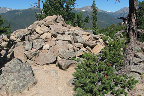
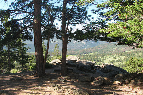
Leaving the junction, the trail climbs somewhat steeply for 0.20 mile to the summit of Deer Mountain. The summit is not above treeline, but there are still great views to the south and the east.
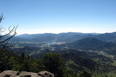
From the cliff tops near the summit - the view of Estes Park to the east,
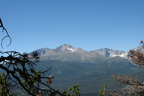
Longs Peak to the south,
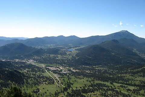
and Marys Lake and Twin Sisters to the southeast.
The summit is at 10013' and 3.0 miles from the trailhead (6.0 miles round trip).