

Lake Trail, page 2
Trail Notes
The trail may be crowded.
It is crowded because it is a great trail.
The "no list" is extensive. They do not even allow picnicking!
Despite the "no list" the park is still crowded and because of the "no list" the Park is a pristine natural area.
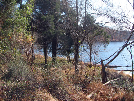
There is only one overlook on the Lake Trail. However there are a couple more on Otter Creek Road, and lots of view points on the Dam Trail.
The Lake Trail has a number of benches along the way.
You cannot just walk the Lake Trail. It starts at the north end of the dam which is accessed by either the Spillway Trail or the Dam Trail. The trail ends at Otter Creek Road, there you may turn around and reverse your steps or continue around the lake on the road.
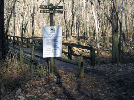
The Lake Trail is an access trail to Ganier Ridge from the north or the south.
Lake Trail Mileage
.00 West Parking Area and Visitor Center - Begin on the Spillway Trail
.25 Trail Junction with the Dam Trail
.55 Overlook
.85 Long bridge over the drainage
.95 Northern junction of Ganier Ridge Trail
1.35 Southern junction with the Ganier Ridge Trail
1.55 Junction with Otter Creek Road
2.35 Junction with Dam Trail (road across the Dam)
2.55 Return to the Spillway Trail
2.80 Return to West Parking Area and Visiotr Center
Map Link
The link opens in a new window.
Radnor Lake Park Trails - pdf
GPS
Control Click or Right Click for download.
Radnor Lake Trails in Text Format - radnorLake.txt
Radnor Lake Trails in GPX Format - radnorLake.gpx
Radnor Lake Trails in KML Format - radnorLake.kml