

Cumberland Plateau, Byrd Creek, and Overnight Trails
Date Hiked: 11/22/09
Park: Cumberland Mountain State Park
Address: 24 Office Dr, Crossville, TN 38555
Latitude: 35.90054, Longitude: -84.99714
Trail Rating: Easy
Round-Trip Mileage: 8.20 (all three trails as a loop)
Other Trails in the Park: Lake and Pioneer Trails
For Map, Trail Mileage, GPS, and Trail Notes go to Page 2
Pre-Hike Comments
We had never hiked here before the trip. We had visited the Park, but that was just a quick stop as we were returning from Black Mountain.
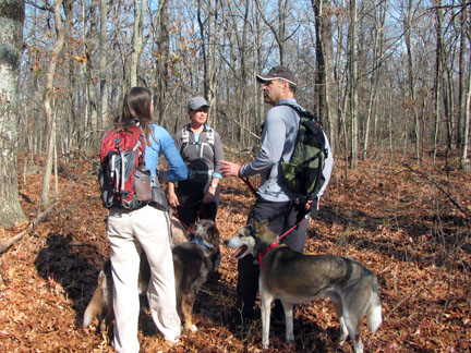
A friend of ours was a ranger at the Park and soon we were planning for a weekend together with some friends. Our plans were to hike all of the trails on Saturday. We were going to hike the Overnight Loop in the morning and the Pioneer Loop in the afternoon.
The Trail
Directions: The Park was easy to locate. From any of the Crossville exits off of Interstate 40, go south to reach Hwy 127 (exit 317, the most westerly exit, is hwy 127). Hwy 127 is Main Street. Head south or east on 127. After passing through town, it is about 3.5 miles to the Homestead junction. Bear right to stay on Hwy 127. The Park entrance is .75 miles on the right. On entering the Park, the Park Office is located on the right before Byrd Lake. Park at the Office or continue across the Dam and park at the restaurant. Information about the Park is available at the Office.
To hike the Cumberland Overnight Trail, all or parts of the Cumberland Plateau Trail (red blazes), the Byrd Creek Trail (yellow blazes) and the Overnight Trail (blue blazes) are hiked.
Park at the Park office. A permit is required to stay overnight. From the Park Office, use care walking along the road.
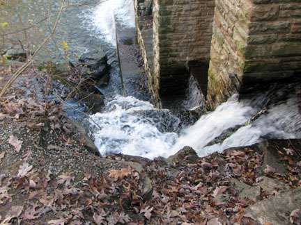
Looking down on a spillway.
Cross the dam and then turn right immediately to begin on the Plateau Trail, following the red blazes.
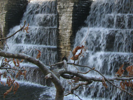
The Dam, taken from the Cumberland Plateau Nature Trail.
The Plateau Trail is a nature trail which makes a short loop. The more picturesque leg of the trail goes down the stairs located next to the dam. There are some great shots of the dam from this section of the trail.
The Dam, again.
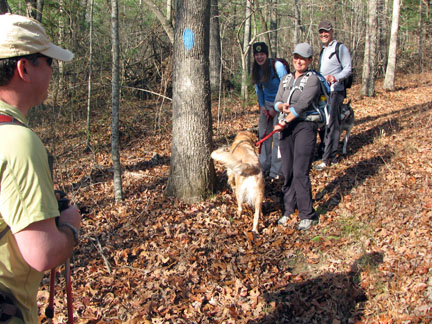
The trail continues following the creek downstream. It is .40 miles to the junction with the yellow blazed Byrd Creek Trail.

The start of the Byrd Lake Trail.
The yellow blazes follow close to the creek except for detours caused by hazards. One downed tree rerouted the trail away from the creek for a short distance. Re-join the trail by the creek and continue.
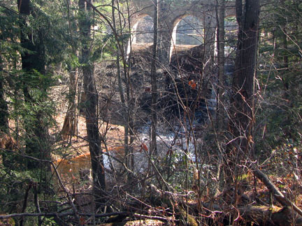
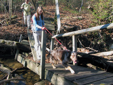
The Boy Scout Bridge, which was built as an Eagle project.
At .65 miles on the yellow trail, an elaborate bridge (built as an Eagle Scout project) crosses a tributary of Byrd Creek. The trail climbs a hill for a short distance to the junction with the blue trail, at .05 miles on the yellow trail.
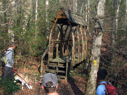
The start of the Overnight Trail.
At the junction, to continue on the Overnight Trail, turn left and follow the blue blazes. To continue on the Byrd Creek Trail go right and follow the trail/old road .15 miles to the Old Highway. It is 1.45 miles back to the Park Office. The rest of the Byrd Lake Trail is detailed below after the Overnight Trail section.
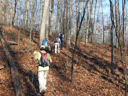
Rolling hills on the Overnight Trail.
Back to the Overnight Trail, the trail heads into the highlands, leaving Byrd Creek. The Park did a good job using most of their land for the trail as it closely follows the Parks’ boundaries.
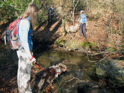
Crossing a creek a quarter of a mile before camp.
After crossing rolling terrain the trail crosses a creek after 1.65 miles on the blue trail.
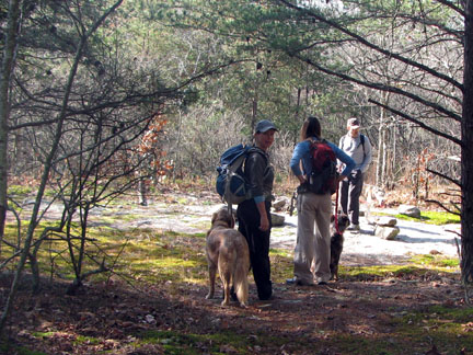
Overnight campsite.
It is only a quarter of a mile from the creek to the camping area. The designated campsite is an exposed slab with a fire ring. We had to pick up trash (thanks Mo) but mostly the area seemed unused. The campsite is 2.95 miles from the Byrd Lake Dam. The icon is not correctly indicated on the Park’s Trail Map. A permit is required to camp overnight. Hey, keep it clean!
Turnaround, an old road continues across the ridge.
From the campsite continue on the blue trail .65 miles to reach the turnaround spot on the trail. An unmarked trail goes to the left at the tee and the marked Overnight Trail veers to the right.
Turning right, the trail crosses the top of the ridge for about .85 miles then drops down to the north into the Three Mile Creek drainage.
Bridge hit by a tree.
Three Mile Creek is crossed after gradually descending .30 miles. In '09 the bridge and been attacked by a falling tree. Use care crossing the remains of the bridge or find a way to cross/ford the creek.
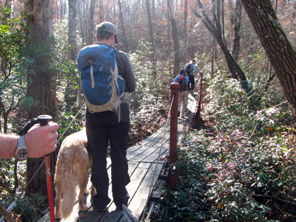
Bridge over Three Mile Creek
The trail crosses a couple of tributaries and then a suspension bridge which spans Three Mile Creek after 1.55 miles.
From the bridge the trail climbs a hill and then descends to the junction with the yellow trail after .65 miles. The total mileage for the blue blazed section is 5.90 miles.
At the junction turn left as the Byrd Creek Trail resumes (right takes you .15 miles back to the start of the blue trail.) The Old Highway is just a few feet away. Turn right on the Old Highway (paved) and cross Byrd Creek.
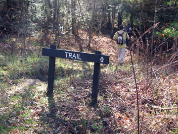
Trail sign near the re-start of the Byrd Creek Trail.
Re-enter the woods by turning right after only a short distance. Following the yellow blazes the trail follows Byrd Creek back toward the Park Office. After .40 miles a small creek is crossed. The trail then contours between the campground and the creek and after .90 miles the Byrd Creek Trail exits the woods at the Office.
The lengths of the trail starting from the Park Office are as follows: Red Trail - .85 miles (plus .15 miles from the office and .15 miles back); Yellow Trail (with one way from the Office to the dam, and one leg of the Red Trail) - 2.70 miles: Blue Trail (with one way from the Office to the dam, one leg of the Red Trail and the two legs of the Yellow Trail) - 8.45 miles.
This was a fun hike. It was not too long to hike as a day hike and would be a short overnight hike.