

Cumberland River Greenway - Metro Center Levee
Date Hiked: 2/13/10
Greenway: Metro Center Levee Section
Addresses:
Freeland Station Trailhead
766 Freeland Station Rd, 37228
Great Circle Road Trailhead
231 Great Circle Road, 37228
Freeland Station Trailhead
Latitude: 36.19248, Longitude: -86.82483
Great Circle Trailhead
Latitude: 36.19235 Longitude: -86.78521
Mileage: 2.7 miles one way, 5.2 miles round-trip
Other Paths Connecting to the Greenway: Downtown, Shelby Bottoms
For Map, Trail Mileage, GPS, and Trail Notes go to Page 2
Pre-Trip Comments
We planned to walk the entire Cumberland River Greenway. Starting with the Metro Levee section and continuing to the Downtown section. We were going to walk one way with a car shuttle. I was looking forward to walking along the Cumberland River.
The Greenway
Directions to Freeland Station Trailhead: From Interstate 65, take exit 85, turning onto Rosa L Parks Blvd. Head north to Metro Center (away from Downtown Nashville). After about 1.50 miles (depending if you are headed north or south on I-65) turn right on MainStream Dr. After .20 miles turn left on Freeland Station Rd. The Trailhead is in .40 miles. (The Trailhead is also called the Ted Rhodes Trailhead and West Levee Trailhead.)
Directions to Great Circle Trailhead: From Interstate 65, take exit 85, turning onto Rosa L Parks Blvd. Head north to Metro Center (away from Downtown Nashville). Turn right on Vantage Way. Go .50 miles. Turn right on Great Circle Rd and go .40 miles to the Trailhead (or East Levee Trailhead.)
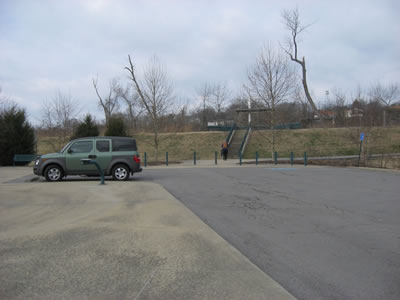
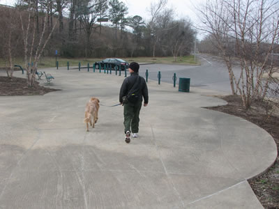
Freeland Station Parking Area
The Greenway path directions are for one way. We started at Freeland Station Trailhead.
Freeland Station Trailhead
From the Trailhead climb the ramp (or stairs) to the top of the Levee.

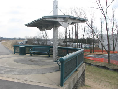
Rest Area at Freeland Station Trailhead
There is a rest area at the beginning of the path.
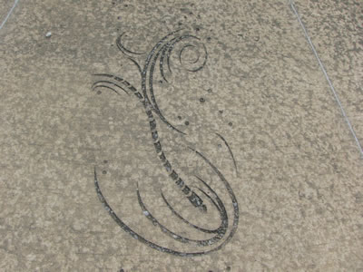
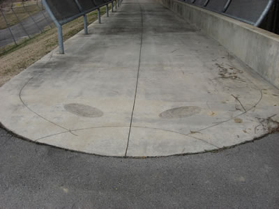
Artistic Etching in Concrete
This would also be the half way point if the starting point was at Great Circle Trailhead or Downtown.
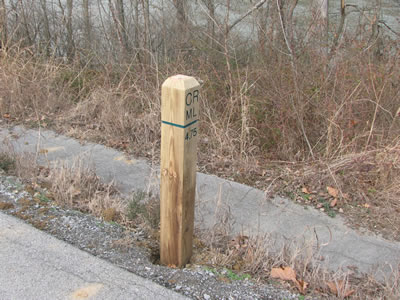
4.75 Mileage Marker, markers on the quarter mile
The first mileage marker is in .10 miles. It is numbered "4.75". The 4.75 is the mileage to the beginning of the Cumberland River Greenway near Fort Nashboro at Riverfront Park in Downtown Nashville.
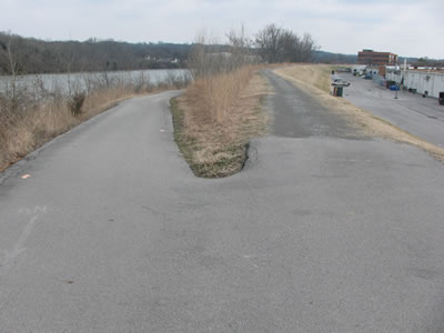
Path Splits to Left, note Levee Path is Gravel
At .65 miles (just beyond marker "4.25") a side path goes to the left down the Levee to near the river's edge. The side path adds a little mileage to the overall distance (.05).
Side path returns
Going straight on the Levee the side path rejoins the main path after .35 miles.

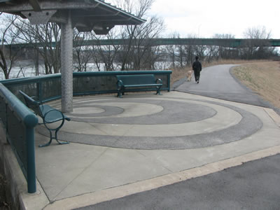
Amulet Overlook
The second rest area is in .25 miles. This area is quite unique.
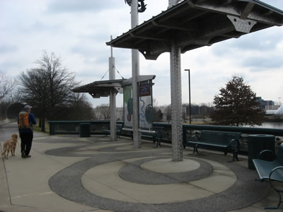
Amulet Overlook 2
It overlooks Lake Amulet and the Titans Training Facility and has interesting artistic concrete works.
Decorative fish
Including etchings in the walk and molded retaining walls.
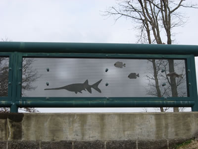
Tail and Fish Body
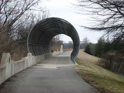
The path goes through a long arched fence that has the head and tail of a catfish.
Fish Head
The Amulet Lake Rest Area is 1.25 miles from the Freeland Station Trailhead (2.5 miles round trip.)
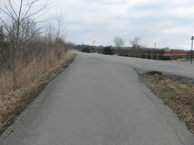
Second side path
.20 miles from the mouth of the fish is a second side path going down to the river again.
Second side path returns, rest area ahead
The path returns in .30 miles.
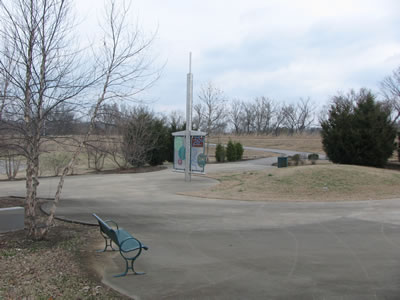
Third rest area
Just beyond (.05 miles) is another rest area on the right.
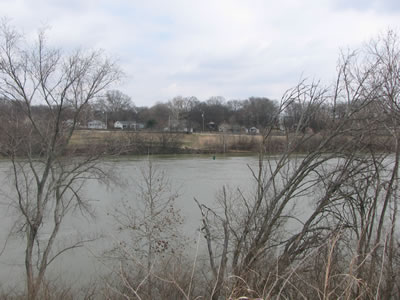
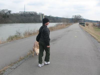
Old Lock One - in high water
After .40 miles, close to Mile Marker "2.50", are views across the river to Old Lock One Park. Before Cheatham Lock and Dam, the small Lock One enabled a minimum water level for navigation. Lock Two was in Pennington Bend.
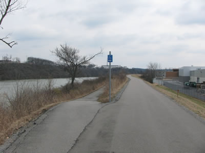
Mile Marker "2.25" is the last marker before Great Circle Trailhead.
Last rest area, trailhead is close to the bridge ahead
Another rest area is near the marker. It is .10 miles to the Trailhead. The Trailhead is before the I-65 Bridge (Lyle Fulton Hwy Bridge.)
Great Circle Trailhead
The trail continues to Downtown Nashville. It is 2.15 miles to Fort Nashboro. Or turn around and return 2.70 miles to the Freeland Station Trailhead.
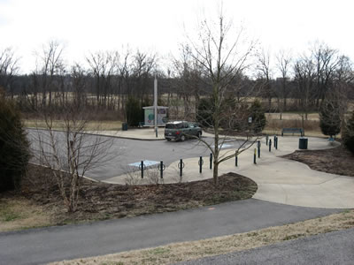
Looking at Metro Levee from Great Circle Trailhead