

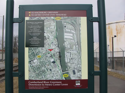
Cumberland River Greenway - Downtown
Date Hiked: 2/13/10
Greenway: Downtown Section
Addresses:
Great Circle Road Trailhead
231 Great Circle Road, 37228
Great Circle Trailhead
Latitude: 36.19235 Longitude: -86.78521
Mileage: 2.15 miles one way, 4.30 miles round-trip
Other Paths Connecting to the Greenway: Metro Levee, Shelby Bottoms
For Map, Trail Mileage, GPS, and Trail Notes go to Page 2
Pre-Trip Comments
We planned to walk the entire Cumberland River Greenway. Starting with the Metro Levee section and continuing to the Downtown section. We were going to walk one way with a car shuttle. I was looking forward to walking along the Cumberland River.
The Greenway
Directions to Great Circle Trailhead: From Interstate 65, take exit 85, turning onto Rosa L Parks Blvd. Head north to Metro Center (away from Downtown Nashville). Turn right on Vantage Way. Go .50 miles. Turn right on Great Circle Rd and go .40 miles to the Trailhead.
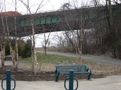
Great Circle Trailhead
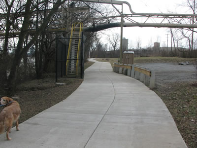
From the Great Circle Trailhead the path Downtown Greenway leads to the south (or right) under the I-65, Lyle Fulton Bridge.
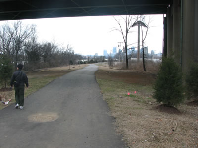
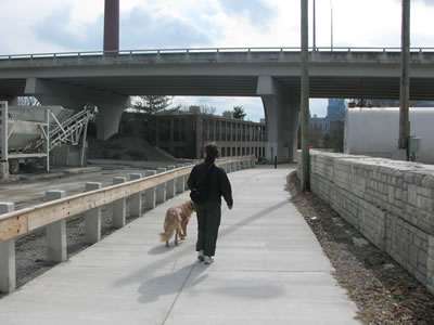
The path goes under I-65 with good views of Downtown
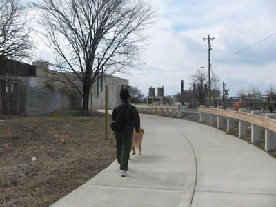
For the first mile the trail wanders through an industrial area. It is not a nature walk; but it is interesting.
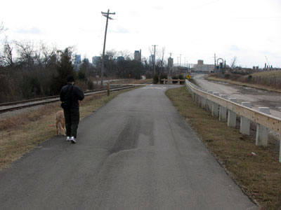
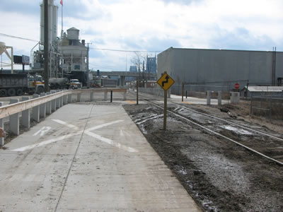
Nearing 2.0 mileage marker, Path crosses tracks ahead
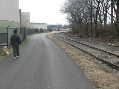
Following an old railroad track the greenway heads toward town. Great views of the skyline are available in this section.
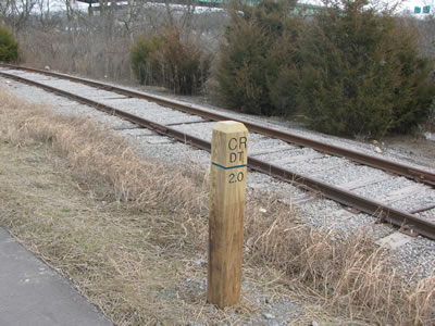
2.0 miles from Downtown
After .15 miles the trail crosses the railroad track. This is also the location of the 2.00 mile marker. The numbers on the markers are only directed toward those leaving town.
Passing under Lone Star pumping hose
At .30 miles the trail passes under Lone Star Cement hose pipe. They unload cement at the location from barges docked at Lower Nashville Island.
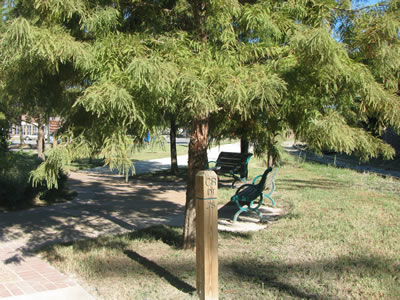
Rest Area with good views of the River
In .10 miles a rest area is along the river with views of Lower Nashville Island.
The path leaves the rest area passes the 1.75 mile marker and crosses a drainage as it snakes back to the river.
Nearing the Bio-Solids Plant
Metro Bio-Solids plant is along the path in .20 miles.
Tanks on Left, Old tracks on Right
The Bio-Solids is a big complex.
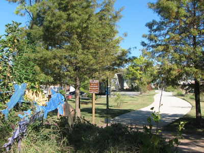
Madgeburg Kiosk
The Madgeburg Path Junction is in .25 miles. The spur trail leads to Morgan Park.
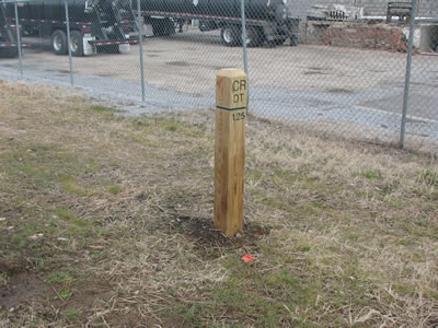
1.25 mile marker, .90 miles from Great Circle Trailhead
In .05 miles is the 1.25 mile marker.
Crossing Tracks, dirt and sand on the path
Continuing .30 miles (crossing a couple of streets along the way) The path crosses the railroad. This is in the neighborhood of the Readi-Mix Plant and has lots of sand on the path. Bicyclists should be careful riding through the area.
Passing Readi-Mix - Jefferson St is ahead
In .10 miles pass the Readi-Mix Plant and then pass under Jefferson Street (.05).
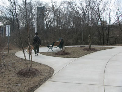
From Jefferson Street to Downtown the path is less industrial and more urban.
Bi-Centennial Mall Junction
After .05 miles is a rest area. The Bi-Centennial Mall Connector goes to the right (or west). The Connector weaves for .40 miles between buildings and parking areas to the Mall. It is a great side trip.
.75 mile marker and rest area at the junction
The .75 mile marker is also located near the Junction.
Crossing 1st Ave
In .20 miles the path crosses 1st Ave and continues on the sidewalk on the other side of 1st.
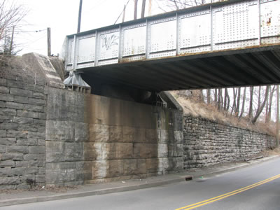
Path continues along 1st Ave under bridge
The CSX Railroad crosses over 1st Ave and the path in .05 miles.
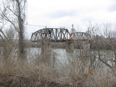
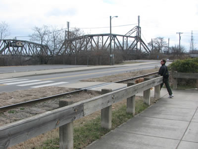
CSX Bridge swung open
At the top of the hill, the path goes left around a parking area (or stay straight on the sidewalk.) There are good views of the Railroad Bridge from the path.
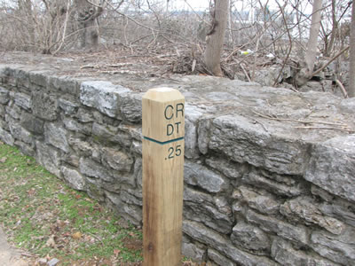
.25 mile marker
From the Railroad Bridge it is .25 miles to the .25 mile marker. It is also 1.90 miles from the Great Circle Trailhead.
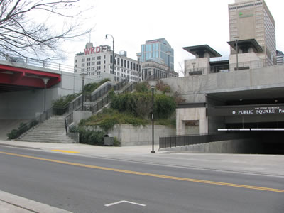
Gay Street and Public Square
Pass the steps to the Public Square and under the Victory Memorial and Woodland Street bridges.
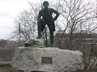
Demonbreun Statue with the Stadium across the River
After .15 miles the statue of Timothy Demonbreun guards the bluff overlooking the river.
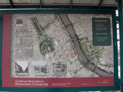
Downtown Trailhead Kiosk - 2.15 miles from Great Circle Trailhead
The trailhead is in .10 miles. The kiosk is located before reaching Fort Nashboro (on the north side).
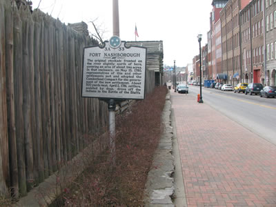
Fort Nashboro along 1st Ave