

Percy Warner 5.8 Mile Roadway
Date Hiked: May 04, 2010
Park: Warner Parks
Address: 7311 Highway 100, Nashville, TN 37221 (Nature Center at Edwin Warner Park)
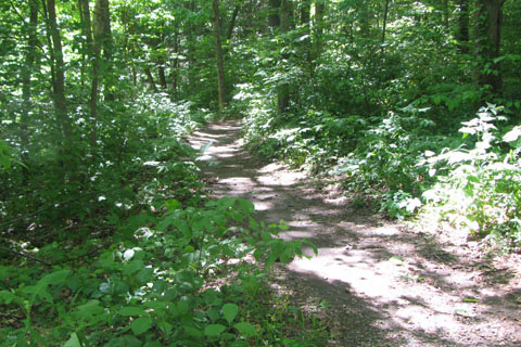
Type of Path: Paved Roadway - share the roadway with vehicles
Latitude: 3.08174, Longitude: -86.86824
Round-Trip Mileage: 5.8 miles
Other Trails in the Park: Warner Woods, Mossy Ridge, Cane Connector, Eleven-Two
For Map, Trail Mileage, GPS, and Trail Notes go to Page 2
Pre-Trip Comments
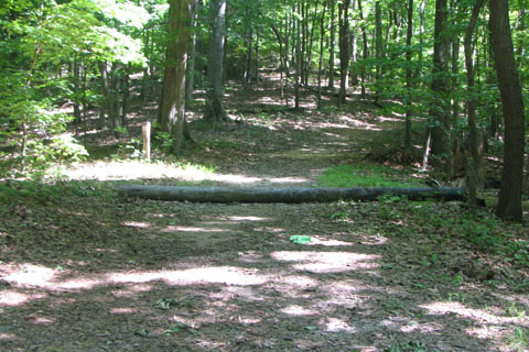
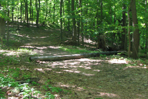
We were very familiar with the roadway, but mainly from riding bikes not walking. The roadway is very popular for walkers, runners, and bicycles. We walked the 5.8, just a few days after the mighty flood of May 01, 2010. There were a lot of trees down.
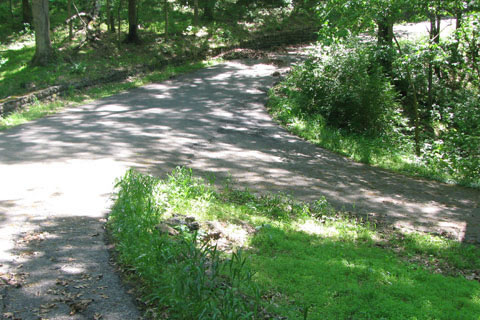
The Roadway
Starting from the flag pole at the end of Belle Meade Boulevard, the road climbs steadily past the golf course.
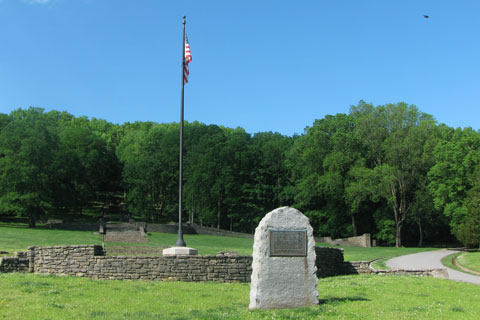
The Boulevard Entrance
It is a medium grade that levels out at the first curve to the left.
Passing a bench the on the left the road stays level until the first junction. The road intersects with the horse path and then the junction. Be sure to rest during this section, the next section is much harder.
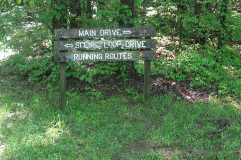
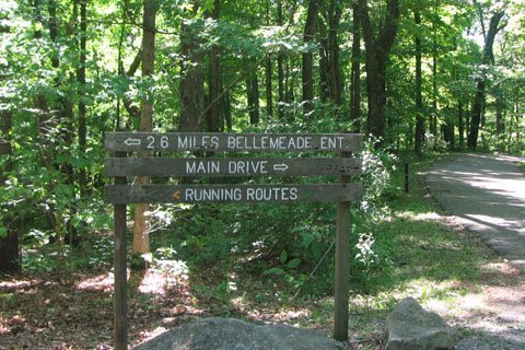
First Junction, to the left takes the Scenic Loop. It is .40 miles to rejoin the Main Drive near its end. To the right continues the Five-Eight Route
Go right at the road junction.
Shortly after the road junction the Warner Woods Trail crosses the road.
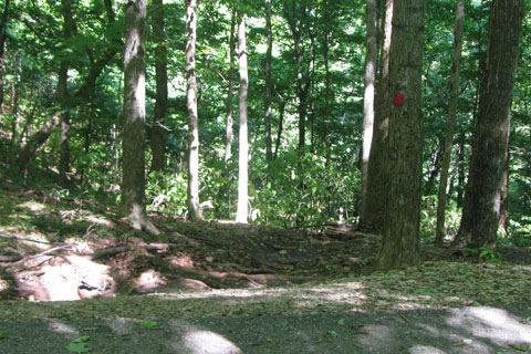
Warner Woods Trail, white blazed, crossing the road
Staying mostly level the road goes for .25 miles until it rears up and shows you a hill. The hill seems to get steeper as you climb it. On a bicycle, running, or even walking, the hill will quicken your heart rate.
Finally at the top the road curves right and then eases off the steep grade. The road passes beneath Lea's Summit and continues for .30 miles where it crosses the horse path again.
Horse Path Crossing the Road
The easy grade of the road makes the section all the way to Deep Wells easy. A half mile from the horse path crossing, the Warner Woods Trail crosses the road again.
Warner Woods Trail crossing again
It is .05 miles until the next junction. The right leg goes to Highway 100. The left leg continues the Five-Eight as it leads to Deep Well.
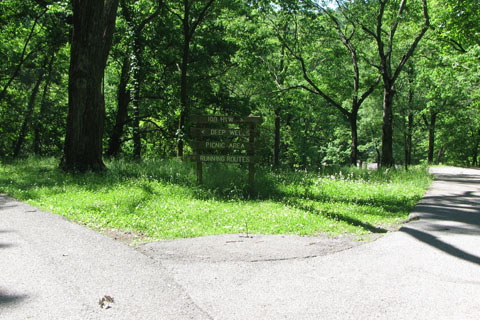
Second Junction, right leads to Hwy 100, left continues the Main Drive and Five-Eight Route
Following an easy grade, the road stays slightly above the entry road from the Deep Well Entrance which is down hill off the right side of the road.
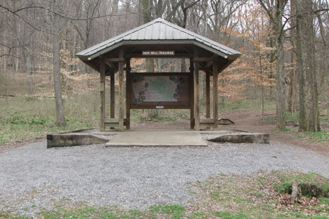
Deep Well Trailhead
The road curves in and out of a couple of hollows as it contours the slope. A steady climb marks the beginning of Three Mile Hill.
There is more around the curve on Three Mile Hill
The steady grade becomes steeper as the climb continues around a curve just to find a bit more of climbing.
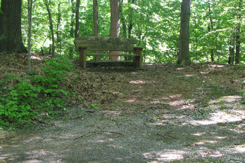
Finally a bench near the top of the hill
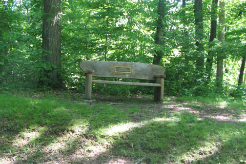
As the roadway levels a bit, a bench is on the left shoulder.
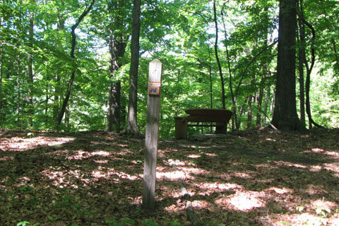
Mossy Ridge Trail, red blazed, crossing
Crossing the red blazed, Mossy Ridge Trail it is a short distance to the Five-Eight Cutoff junction. Note: on the Mossy Ridge Trail - to the right leads downhill to Dripping Springs, and to the left also leads downhill and then covers easy ground to Quiet Point.
At the top of Three Mile Hill (about three miles from the start) the road comes to a junction.
Road Sign at top of the Three Mile Hill, Five-Eight goes left, roadway is rejoined in .40 miles
At the junction, the Five-Eight goes left. Continuing straight, or slightly right on the Main Drive, is the Eleven-Two Roadway.
After the junction, the horse path crosses the road in just a few feet.
Horse Path crossing near junction looking right
The road continues almost level as it stays high on the crest of a ridge.
A quarter mile from the junction, another leg of the horse path crosses the road.
Another Horse Path crossing, looking right
After the horse path, the road descends to another junction with the Eleven-Two Roadway. On the Eleven-Two route the junction is Nine Mile Hill.
The Main Drive rejoins the Five-Eight, nearing the top of Nine Mile Hill
The road climbs again and curves right when it levels out.
A tight curve, the road is coming back from the curve on the other side of the bench
A bench is on the left and the road is only feet away going the other direction.

Overlook
At a sharp curve a bench and overlook are on the right.
Same bench from the other side, mile marker is "4"
Curving around the bench on the left is the same one you just past going the other direction!
After a curving to the right downhill the road rises to a short climb. From this point it is mostly downhill back to the start.
The road passes a picnic table on the left and then starts the descent.
Mossy Ridge Trail, red blazed, crossing the road. To the left the trail goes down the steep Chimney Hill and to Deep Well
At the next saddle, the red blazed trail, Mossy Ridge, crosses the road again. On the red trail - to the left the trail descends Chimney Hill to Deep Well Trailhead .35 miles away, to the right the trail descends to Basswood Hollow.
After a short climb, the road descends again to a flattened area and the road's NB mile marker "10". It is 1.20 miles to the Boulevard.
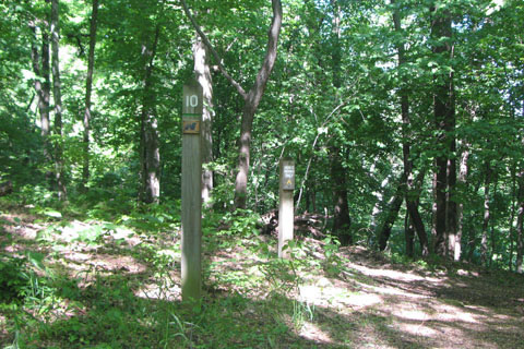
Mile Marker 10 and the Deep Well Cutoff horse path
Another horse path (Deep Well Cut Off) crosses at the 10 mile marker. Deep Well is to the left.
Lea's Summit spur road
In .10 miles the side spur road to Lea's Summit goes to the left.
The road descends sharply into a hairpin curve. The white Warner Woods Trail is just off to the left side of the road, just beyond the retaining wall.
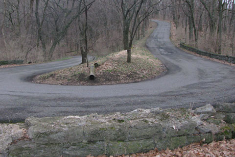
The hairpin curve
Continuing, the road descends to another sharp curve and then the grade eases for the short stretch to the next road junction.
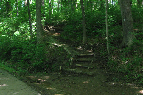
From the left a road joins the roadway. The merging road is the short road segment which crossed the top of the terraced stairs. The segment originated at the first junction, at .60 miles.
The Scenic Loop rejoins the Roadway
A nice easy grade descends to the Boulevard entrance.
The total distance of the roadway is 5.8 miles.