

Ridgetop Trail, page 2
Trail Notes
The Park kiosk map is upside down! North is at the bottom of the page. That might not bother you, but it drove me crazy until I finally figured it out.
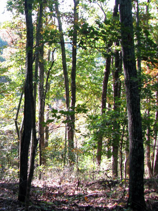
The trail was shaded with tree cover.
The Shortcut Trail was not a shortcut by much, but it was a nice alternative to hiking the old logging road.
The Shortcut is normally used on the return from the "turn around". The main trail (old road) climbs a bit to a knob and the Shortcut avoids the climb.
The trail was easy to follow with blazes and signs. The trail was well maintained. A sign tells you when to turn around.
Ridgetop Trail Mileage
.00 to .05 Ridgetop Trailhead to 1st Henry Hollow Loop junction
.05 to .35 Ridgetop Trail and Henry Hollow Trail share this section of trail to junction with Shortcut and 2nd Henry Hollow
.35 to .85 From junction to 2nd Shortcut trail junction
.85 to 1.90 Trail junction to small overlook to the left
1.90 to 2.20 Overlook to turnaround
2.20 to 2.50 Turnaround back to overlook
2.50 to 3.55 Overlook to Shortcut junction
3.55 to 4.05 Shortcut Trail
4.05 to 4.35 Ridgetop and Henry Hollow share trail
4.35 to 4.40 Henry Hollow Junction to Ridgetop Trailhead
Map Link
The link opens in a new window.
Beaman Park Trails - pdf
GPS
Control Click or Right Click for download.
Beaman Park Trails in Text Format - beamanPark.txt
Beaman Park Trails in GPX Format - beamanPark.gpx
Beaman Park Trails in KML Format - beamanPark.kml