

Harpeth River Greenway
Date Hiked: 12/13/09
Park & Location: Edwin Warner Park and Bellevue, TN
Address: 7311 Highway 100, Nashville, TN 37221
Type of Path: Paved Multi-Use
Latitude: 36.05981, Longitude: -86.91163 (Woolwine Trailhead)
Round-Trip Mileage: 5 miles out and back to Exchange Club Gate.
Other Trails in the Park: Harpeth Woods, Old Roadway, Cane Connector, and many Nature Trails
For Map, Trail Mileage, GPS, and Trail Notes go to Page 2
Pre-Trip Comments
Researching the hike, the Woolwine Trailhead was supposed to be located in Edwin Warner Park. We thought we were familiar with the Warner Park system, and therefore were confused. We had not recently been to that particular Trailhead but we regularly parked at the nearby Nature Center. I decided the path had to be a part of the Old Natchez Trace (an old wagon road used as part of the Harpeth Woods Trail - blue blazes). The map had probably just been marked incorrectly. Boy, was I wrong.
The Greenway
Directions: The Woolwine Trailhead is located in Edwin Warner Park off of Hwy 100. From the intersection of Hwy 155, White Bridge Road/Woodmont Blvd and Hwy 70s, West End Ave/Harding Pike, travel west on 70s (away from Nashville) for 2.3 miles to the Hwy 70s and Hwy 100 split. Veer left onto Hwy 100. Follow Hwy 100 for 3.6 miles to the Park entrance on the left (.3 miles from Old Hickory Blvd.) Go straight on the Park road. The Woolwine Trailhead is on the right.
The path begins from the parking area and leads back toward Hwy 100.
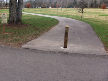
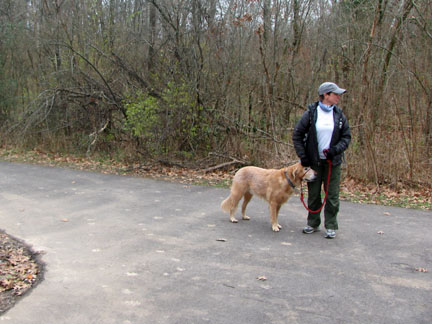
Start of the path from Woolwine Trailhead
The path goes between Hwy 100 and Vaughn Creek. A couple of small tributaries enter from the right or north.
Bridge over a tributary near Hwy 100
After .40 miles the trail intersects with Hicks Road. Ensworth School is on the other side of the road.
Intersection with Hicks Road
Turn left on Hicks Road. The road is closed to traffic. On the right is Ensworth School and the old Devon Farm.

An old stone fence and cemetery with the school in the background
After .30 miles on Hicks Road the path veers to the right and follows the perimeter of the school. Hicks Road continues straight to Butler Field area.
The Greenway leaving Hicks Road
The path follows along the edge of Butler Field until it reaches the Little Harpeth River in .30 miles. The trail to the left leads to the Butler Field Trailhead in .20 miles.
Intersection with Little Harpeth River
Turning right the path continues along the edge of the Ensworth Campus.
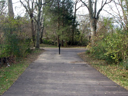
In .25 miles a sturdy bridge crosses Vaughn Creek (the same creek the trail followed to Hicks Road.)
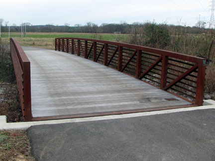
Bridge crossing Vaughn Creek
From the bridge it is .60 miles to the Hwy 100 Bridge. The path goes under the bridge. The Little Harpeth has joined the Harpeth River. A river access are is located on the other side of the river.
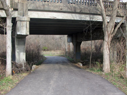
Path going under Hwy 100
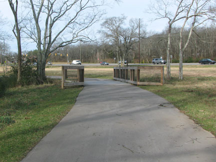
Leaving the school the path enters the woods. In .30 miles a small wooden bridge leaves over a small creek. The bridge was a Boy Scout project. It leads to the Exchange Club Parking Area.
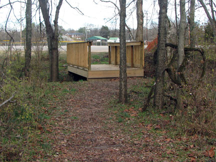
Bellevue Exchange Club Bridge - accesses the parking area
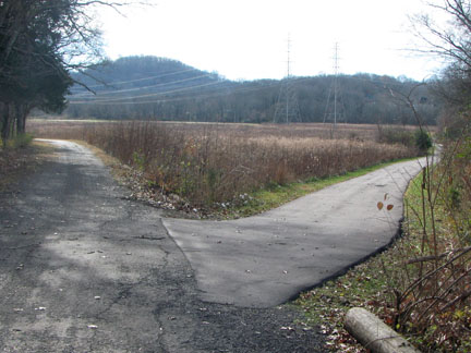
Continuing straight the Greenway path ends at a gravel utilities road.
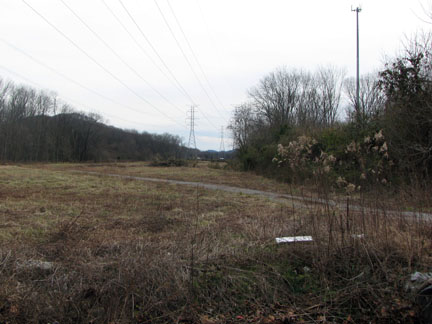
Gravel utilities road from McPherson
Turn left and in .10 miles the gravel road intersects McPherson Dr.
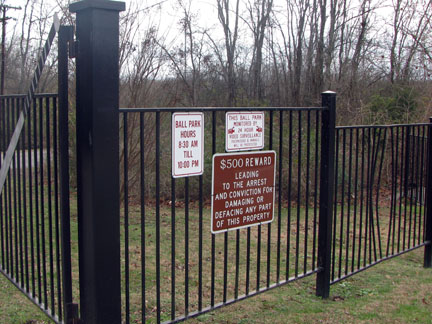
Gate to the Bellevue Exchange Club
Turn right on McPherson to exit the Exchange Club. The gate is located .15 miles away.
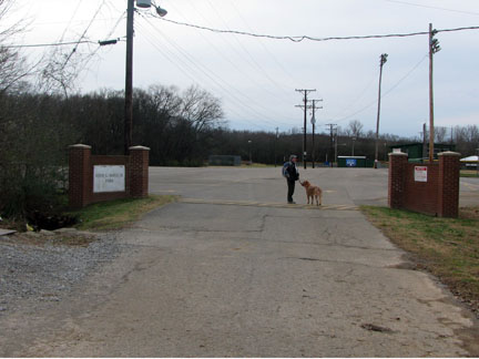
Entrance to the Exchange Club Parking Area,
the utilities road is
on the left before the entrance
From the Woolwine Trailhead it is 2.5 miles to the Gate at the Exchange Club.